for the Siskiyou Hiker
by Gabriel Howe, executive director
14 JULY 2017 | STAR RANGER STATION, APPLEGATE, ORE. — I have a really cool job. Part of it is to hike into beautiful places to meet my trail crews, provide them logistics, make sure their work is up to par. I get to “supervise.”
Last week, a 2016 intern, Paulla Pinheiro, decided to join me on a trip into the Red Buttes to catch up with the crew. She’s an athlete from Brazil, a volleyball player who went to Southern Oregon University on a full ride. She’s capable. Strong.
“It will be an easy hike,” I told her, “up the Butte Fork.” She’s been there and knows the trail. “The crew has been working the Boundary Trail. We’ll catch them somewhere on it.”
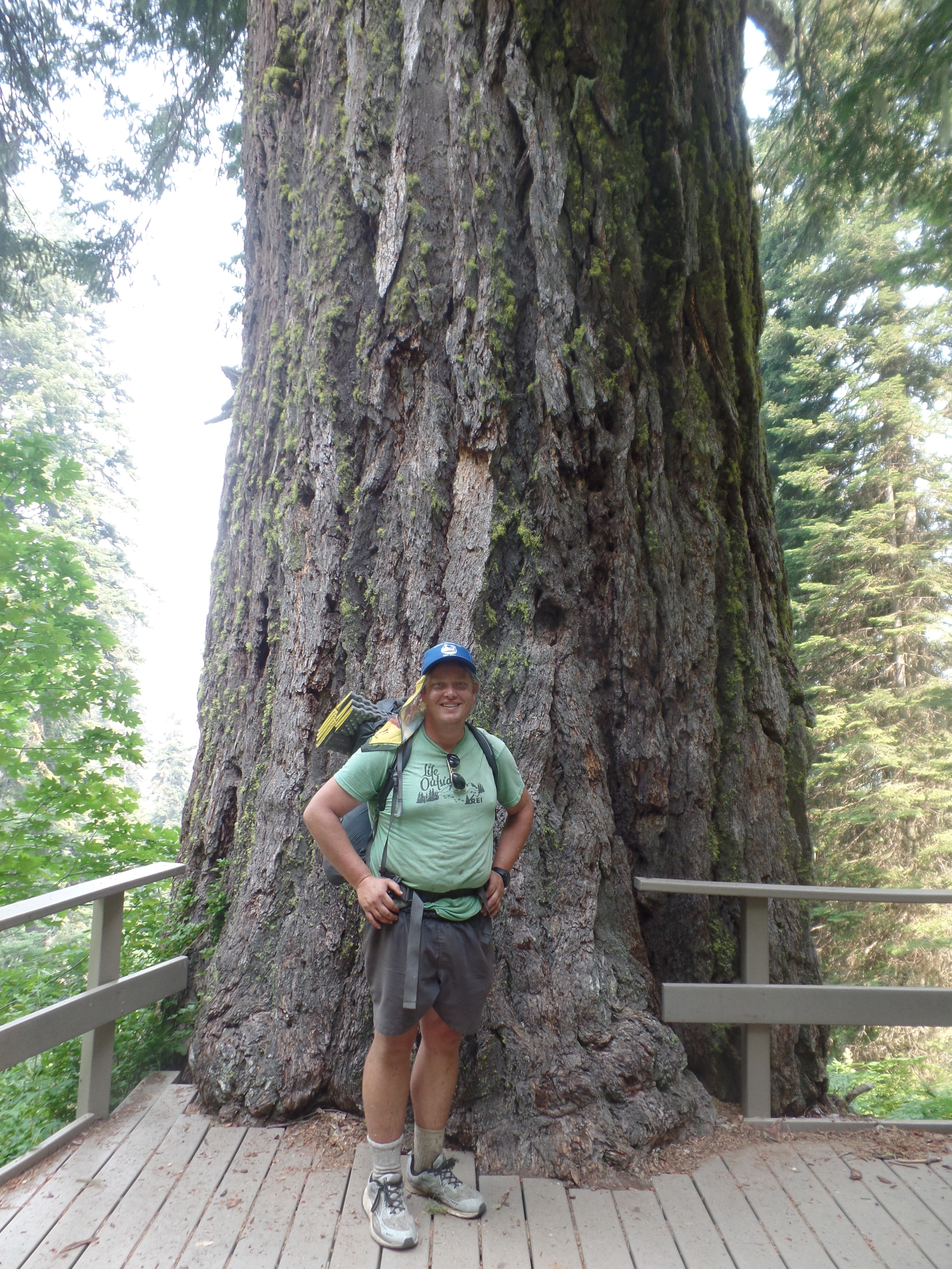
“That sounds like a lot of fun,” Paulla said. She packed her bags and we met up at Medford REI at 6am on Monday, July 11. We also met SMC field liaison Amalie Dieter there, who was heading up to do some work around the trailheads there.
[peg-image src=”https://lh3.googleusercontent.com/-PG2-WiTahX0/WWgUAhz1eyI/AAAAAAAAVtM/XiZLYz9HOggNonp8vuicFfogYdOWTashACCoYBhgL/s144-o/SAM_4858.JPG” href=”https://picasaweb.google.com/106889352618986621551/6387744301771775825#6442421266261834530″ caption=”” type=”image” alt=”SAM_4858.JPG” image_size=”4608×3456″ ]Azalea Lake
“Change of plans,” I told Paulla in the parking lot. In the time since we’d talked a few days before, nobody else had signed up. And I was eager for something a little more intrepid than the leisure stroll up the Butte Fork. I considered her strength and ability and decided, “We’re going to head up to Cameron Meadows, summit Mt. Emily off trail, and then drop down to Azalea Lake.”
[peg-image src=”https://lh3.googleusercontent.com/-O4oRVD_444o/WWgUAo90SII/AAAAAAAAVtU/ecj8RFQQpRsaYuMRc9yUfXYa15iFIoY8gCCoYBhgL/s144-o/SAM_4833.JPG” href=”https://picasaweb.google.com/106889352618986621551/6387744301771775825#6442421268182747266″ caption=”” type=”image” alt=”SAM_4833.JPG” image_size=”4608×3456″ ]Paulla Pinheiro approaches snow field
“Okay,” she said, trusting.
We get to the Cameron Meadows trailhead and are hiking up the very, very steep slope to Cameron Meadows by 8:15a. We reach the meadows, and they’re even dreamier than I expected. We stop to lunch and leave the trail for a ridge that will bring us to Mt. Emily.
[peg-image src=”https://lh3.googleusercontent.com/-JEv4CtXMkcI/WWgUAsfugqI/AAAAAAAAVsI/JVsx2wi-LWIYdODTdadYPW8OQJM1MJfLwCCoYBhgL/s144-o/SAM_4956.JPG” href=”https://picasaweb.google.com/106889352618986621551/6387744301771775825#6442421269130281634″ caption=”” type=”image” alt=”SAM_4956.JPG” image_size=”3456×4608″ ]Ancient cedar
It’s alpine feeling up here. Big boulder fields, meadows, ponds. The flowers are out, and it reminds me of hiking in the Cascades. Everything is great.
Then the brush comes. At first it was an inconvenience. Then it got worse and worse. We had to cross boulder fields that brought us to crawls. We were pulling ourselves up and letting ourselves down from large boulders.
Then more brush. And more. Finally we reach Mt. Emily, which is cool, but we’re far behind schedule.
“This isn’t what I signed up for,” said Paulla with a glare. Earlier I had told her that lots of people get mad at me by the end of these hikes.
[peg-image src=”https://lh3.googleusercontent.com/-XBUnUQ9hz30/WWgUAnLBabI/AAAAAAAAVsk/cEjtVGyfCawuWFU5Y3xsXGJqBkGZqk1YACCoYBhgL/s144-o/SAM_4962.JPG” href=”https://picasaweb.google.com/106889352618986621551/6387744301771775825#6442421267701262770″ caption=”” type=”image” alt=”SAM_4962.JPG” image_size=”4608×3456″ ]
“Shouldn’t have spoke so soon,” she reflects.
Catching the ridge to Sweaty Gulch Trail wasn’t easy, bringing us through a sketchy scree slope, and more brush.
[peg-image src=”https://lh3.googleusercontent.com/-LoM8-RNaAAI/WWgUAqIEJbI/AAAAAAAAVtc/mpIw_Zd5Dj0w-xhAh6LKcads0jmauChOwCCoYBhgL/s144-o/SAM_4832.JPG” href=”https://picasaweb.google.com/106889352618986621551/6387744301771775825#6442421268494165426″ caption=”” type=”image” alt=”SAM_4832.JPG” image_size=”4608×3456″ ]Lilly
It got so thick that you’re no longer walking on ground. You’re just surfing on the stuff, using it as a surface. It whips your legs. At first it might not hurt that bad, leaving a few scratches. Soon those scratches are being whipped back open and the stinging sensation becomes acute.
“Your leg is bleeding, Gabe,” Paulla tells me. I can tell she thinks it’s gross. “Like bad.”
“Don’t worry. I’ll rub some dirt into it,” I joke.
Finally we reach a clear saddle and locate the Sweaty Gulch Trail. We rejoice way to soon. As we descend, the trail becomes faint. Then grown over. I don’t have the patience to look for it.
So back into the brush. Between here and the Butte Fork, things only get worse. There’s a lot of cursing going on behind me. Plenty of F bombs.
[peg-image src=”https://lh3.googleusercontent.com/-nudV89Gjbaw/WWgUAlVAXgI/AAAAAAAAVqY/kV5iR5kAeQsIhU4B8sCSsZk8Mn778h0WACCoYBhgL/s144-o/SAM_4904.JPG” href=”https://picasaweb.google.com/106889352618986621551/6387744301771775825#6442421267206266370″ caption=”” type=”image” alt=”SAM_4904.JPG” image_size=”4608×3456″ ]Views from the Boundary Trail
I apologize to Paulla for misleading her. “It’s way worse than I thought,” I tell her. I knew it would be steep and rugged. But had no idea how thick and stubborn the brush would be. “This is how friendships are forged,” I tell Paulla under heavy breath.
She looks back with a confirming look. “There’s a reason I’m the only one here,” she says.
[peg-image src=”https://lh3.googleusercontent.com/-TytL_DXwkxg/WWgUAtRZICI/AAAAAAAAVs8/LF3Ue7AQLyEhPT5oeO2dvqf8EP3MreH6gCCoYBhgL/s144-o/SAM_4872.JPG” href=”https://picasaweb.google.com/106889352618986621551/6387744301771775825#6442421269338595362″ caption=”” type=”image” alt=”SAM_4872.JPG” image_size=”4608×3456″ ]Azalea at Azalea Lake
By the point we reach the Butte Fork’s headwaters, I’m over it, too. Then the trail takes us longer than expected to find, and we ended up on it near Cedar Basin and head a mile or so to Azalea Lake.
Things are a bit tense, but we hang out in the clouds of mosquitoes and head to our tents before darkness comes. The next morning, Paulla elected to head home a day early, but had some apprehension about hiking alone. “Animals,” she cited.
[peg-image src=”https://lh3.googleusercontent.com/-4Uo287PrkeI/WWgUAiKZUaI/AAAAAAAAVps/Fb9pfAynczMGSkjTyq1KdiT-dhJwvMfzACCoYBhgL/s144-o/SAM_4890.JPG” href=”https://picasaweb.google.com/106889352618986621551/6387744301771775825#6442421266356457890″ caption=”” type=”image” alt=”SAM_4890.JPG” image_size=”4608×3456″ ]
I headed up the Boundary Trail and met my crew. They did an amazing job, clearing miles of thick brush from this artery that connects the Pacific Crest Trail to the Red Buttes and the Grayback Range.
Her hike back down the Butte Fork was an adventure, too: 
Was it worth it? Well, I think Paulla and I are still friends. If that’s the truth, then it definitely was.