for the Siskiyou Hiker
by Maria Katsantones
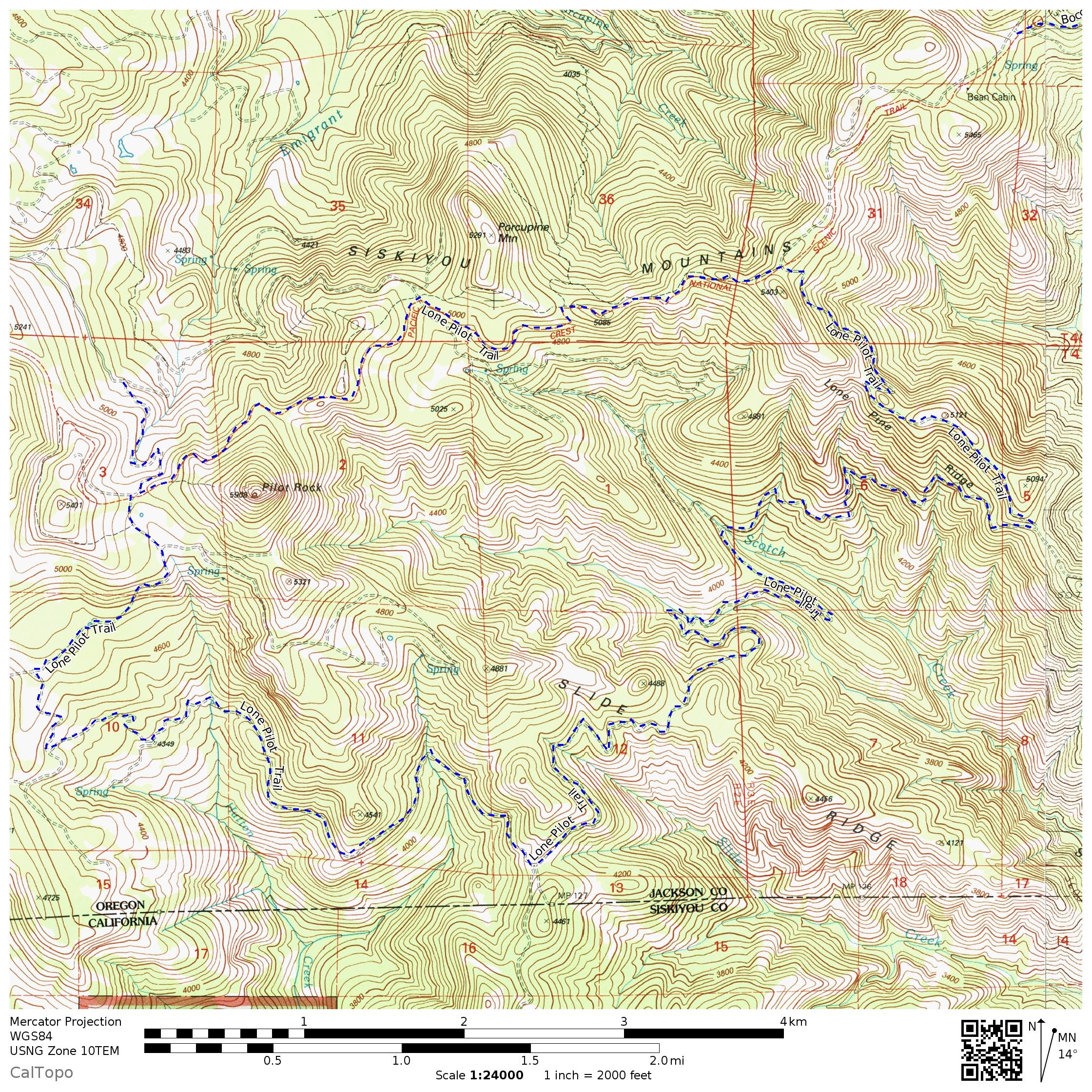
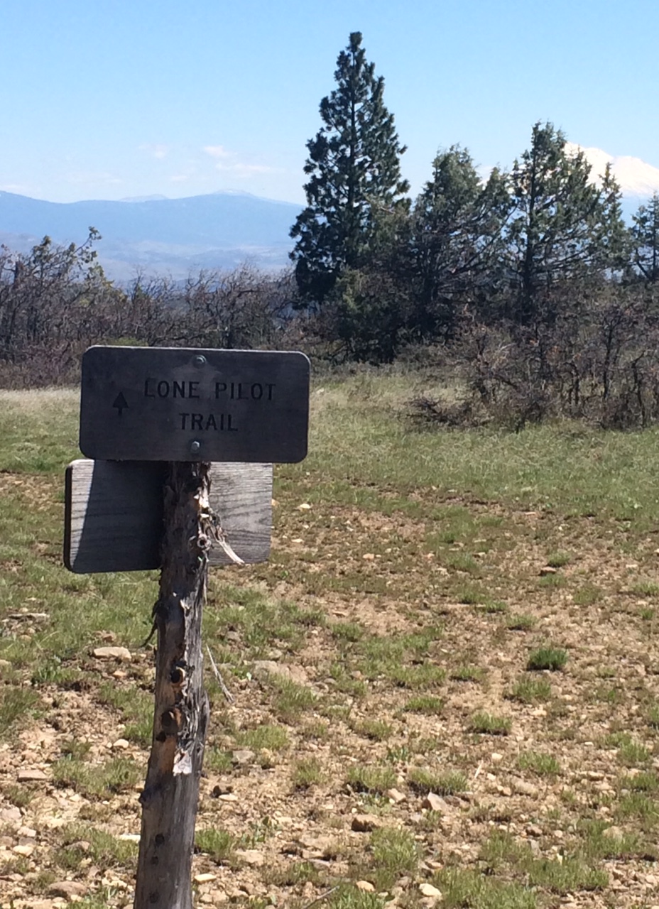
23 MAY 2018 | SODA MOUNTAIN WILDERNESS, ORE. — We started our May 2nd Lone Pilot hike at the Pacific Crest Trail crossing on the Pilot Rock Jeep Road, for a round-trip of 19 miles. We followed the northbound PCT just under two miles to reach the Lone Pilot trailhead, which is currently without a sign; however, the trailhead is at an obvious four-way intersection.
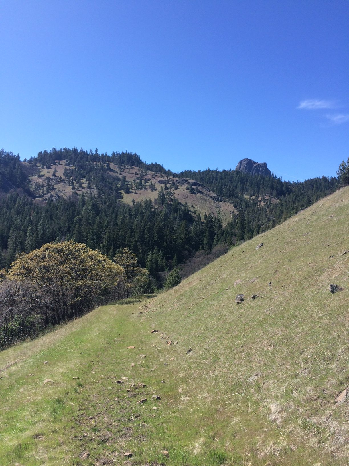
Walking south/southeast on the trail, the expansive landscape exposed a view of the 570-foot Pilot Rock volcanic tower over our left shoulders; a landmark that circumnavigates the trail for 15 miles of varied terrain. Horse hoof tracks imbedded into dried red mud made an early section slow going for a few miles—all the better to enjoy views of Mt. Shasta and Mt. Eddy.
Large patches of scarlet fritillaries and fawn lilies carpeted several hillside curbs along the way. A variety of new shoots promise more wildflowers in the coming weeks and months. At higher elevation hound’s tongue, maple trees heavy with fresh golden buds, and glowing phlox lined the trailside.
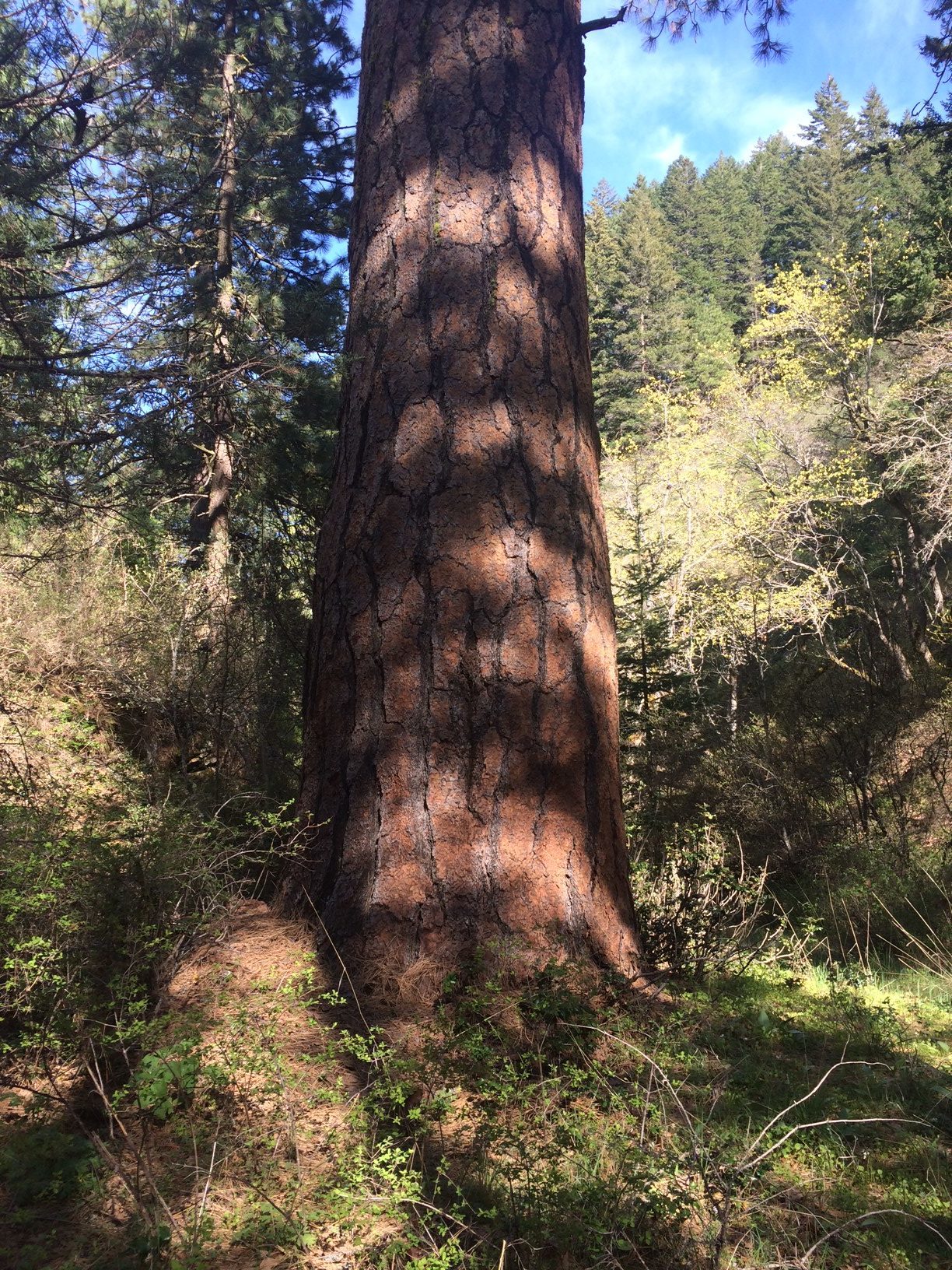
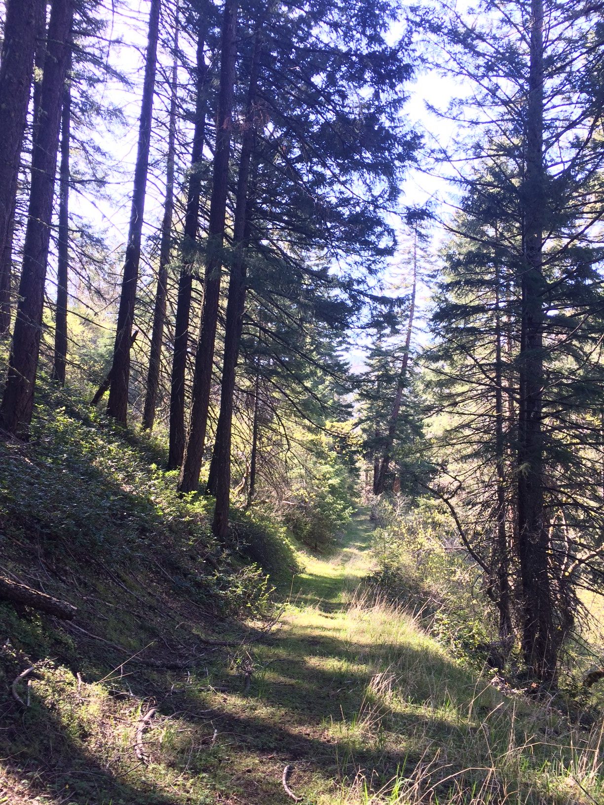
Oak, pine, and fir trees dominate the midsection of the route. At about mile 8 there is a root beer brown Ponderosa pine with a diameter of at least six feet. Bear, cat, deer, and raccoon scat were present at different points along the trail, but no critters.
Several pairs of turkey vultures traversed the thermal current of the southeastern valley sky. At about mile 10, a surprise shrill of wild turkeys came up from a small ravine. An hour or so later, the drumming of hidden grouse echoed out of the dense firs along the PCT section.
The trail (sometimes a resurrected old road) was clearly visible and easily navigable. Along the way there are at least three Lone Pilot Trail signs that verify the route. There were a few fallen small trees in the dense forest section; larger falls had been recently cut and cleared for passing.
Three creeks traverse the trail, Scotch Creek being the widest and easy enough to cross. The Siskiyou Mountain Club map and a warning about the sharp switchback at approximately mile 12 came in handy when the trail followed the switchback northbound downhill, temporarily moving away from Pilot Rock—our final destination landmark.

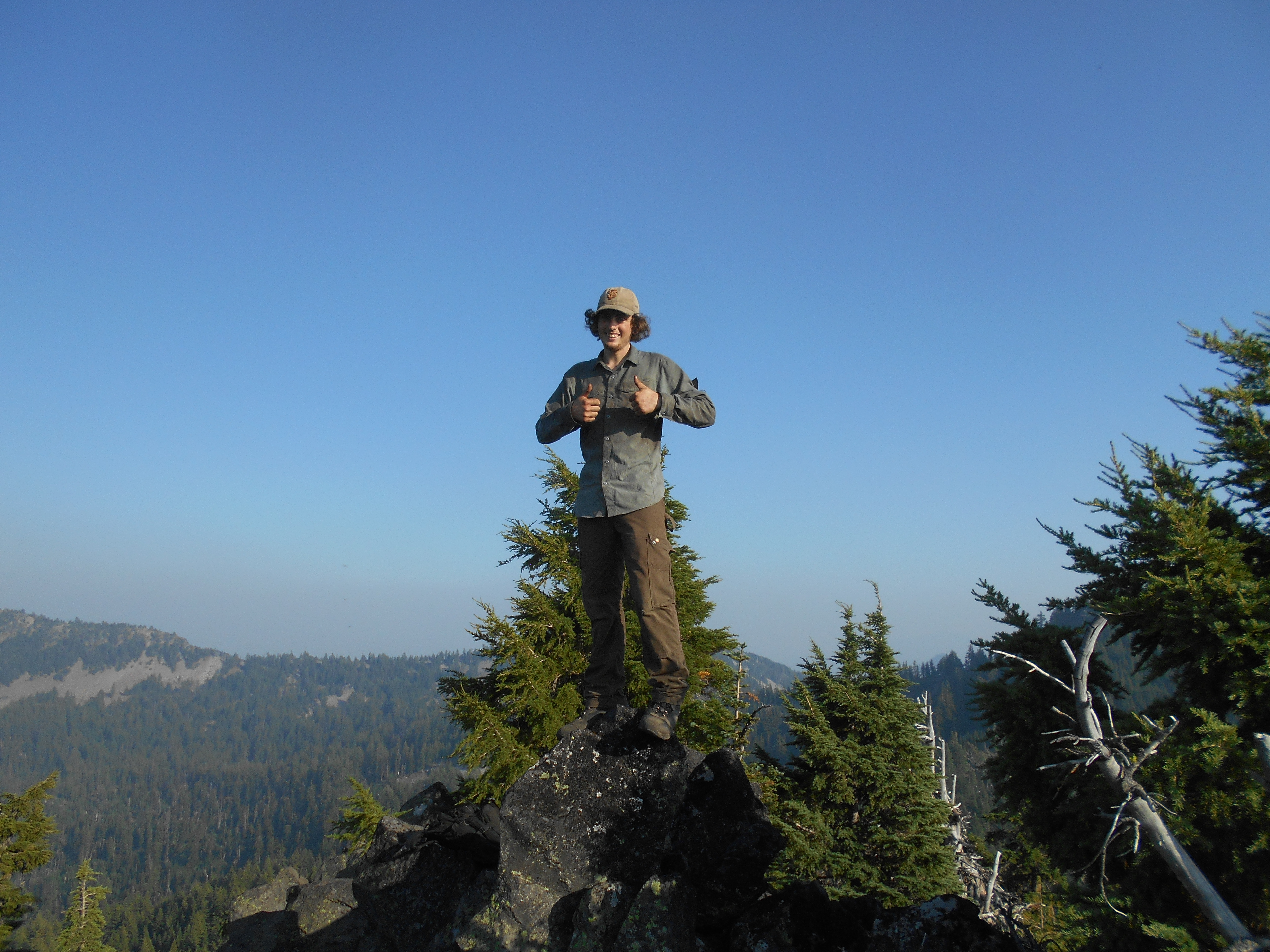
The Lone Pilot Trail offers a full day hike in the Soda Mountain Wilderness through a rotating landscape of oak tree meadows, lush hillsides, picturesque valleys, conifer tree forests, and ubiquitous views of Pilot Rock and snow-capped mountains. The final few miles on the PCT offer shade and views of the Cascades and Mt. McLaughlin. The essential ten plus binoculars are recommended as daypack supplies.
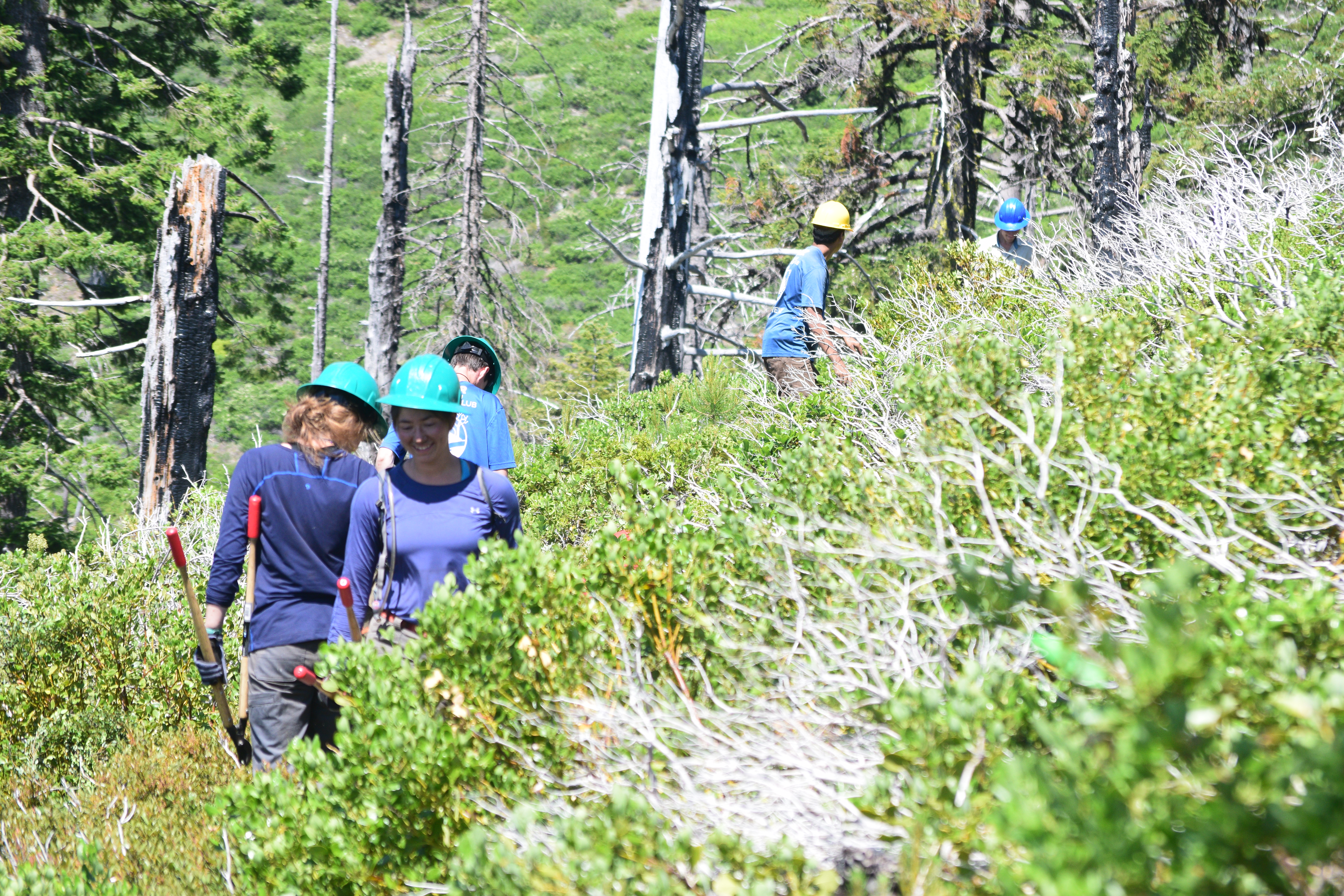
Much of the western section of this hike is in open sky. Heat and possibly rattlesnakes are factors to consider between now and late fall. Many thanks to the Siskiyou Mountain Club for creating and maintaining this beautiful hiking trail. ###
Maria Katsantones is a hiker and trail runner from Ashland, Ore. She serves on the board of the Ashland Woodlands and Trails Association. Want to share your trip? Send text to info@siskiyoumountainclub.org along with pictures.