
12 JULY 2022
Hiking the Illinois River Trail
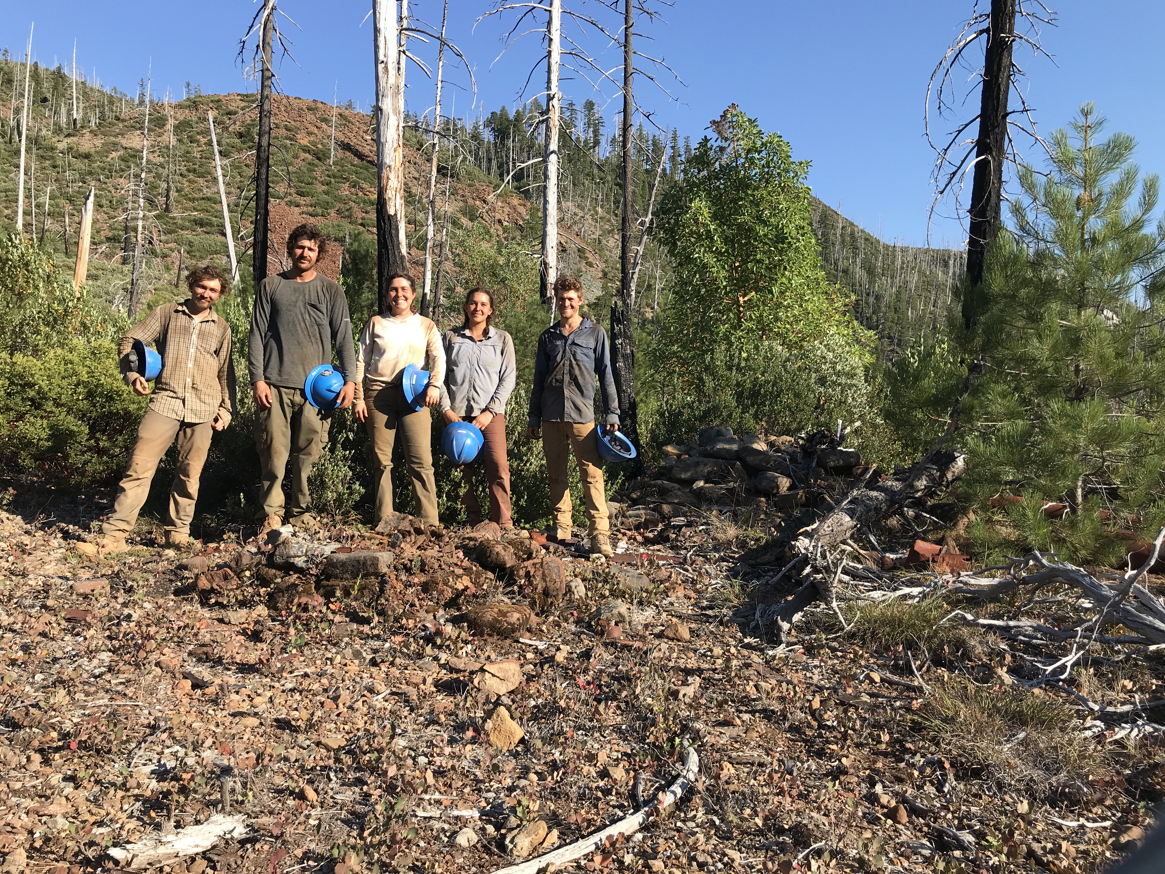
The 30-mile Illinois River Trail traverses the northern recess of the 180,000-acre Kalmiopsis Wilderness Area. The punishing elevation profile and unforgiving terrain is characteristic of this remote pocket of Southwest Oregon, where wildfire has had a defining impact on the landscape. In 2002 we had the Biscuit, then a lot of re-burn in the 2017 Chetco Bar and Klondike fires. But as of July 12, 2002, exactly twenty years after the lightning storm that caused the Biscuit Fire moved through here, the trail is in good shape. But that will change fast.
Get straight with Leave No Trace
If you haven’t taken the Center for Leave No Trace’s Online Awareness Course, do it now. Brush up on your Leave No Trace skills and practice them when visiting America’s great backcountry. Go here to take the free course.
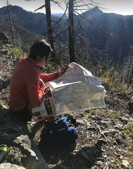
This is Wilderness: Educate yourself
This is an area that is managed as an enduring resource where humans are visitors. The trails are primitive, faint in places, and you may find unmarked and unmapped user trails. You can anticipate challenging conditions. Signage is lacking and you will need some navigation skills. Bring a map, a compass, and make sure you know how to use them. Go to https://www.wilderness.net/NWPS/elearning and register for the course entitled “Wilderness Act.” You will be taken through a check-out process, but the course is free.
A few pro tips
- Do not leave vehicles or things you don’t want stolen at trailheads
- The tread fades and disappears through prairies and savanna habitats
- Expect mosquitoes, tics, rattlesnakes, falling snags, poison oak
- The season to hike the Illinois River Trail
- Visit Cougar Lane Lodge in Agness for a cold beer from Gold Beach’s Arch Rock Brewery
We highly discourage users from relying on digital map products or social platforms to discover America’s backcountry. You may find the PDF of the Illinois River Trail map here.
