for the Siskiyou Hiker
The Siskiyou Mountain Club is building an online mapping tool that takes the guessing game out of figuring out which backcountry trails are maintained, and gives the community a template to provide useful feedback on trail conditions. The Siskiyou Trail Finder will be featured this January 30, 7pm at Rogue Valley Runners in Ashland, OR.
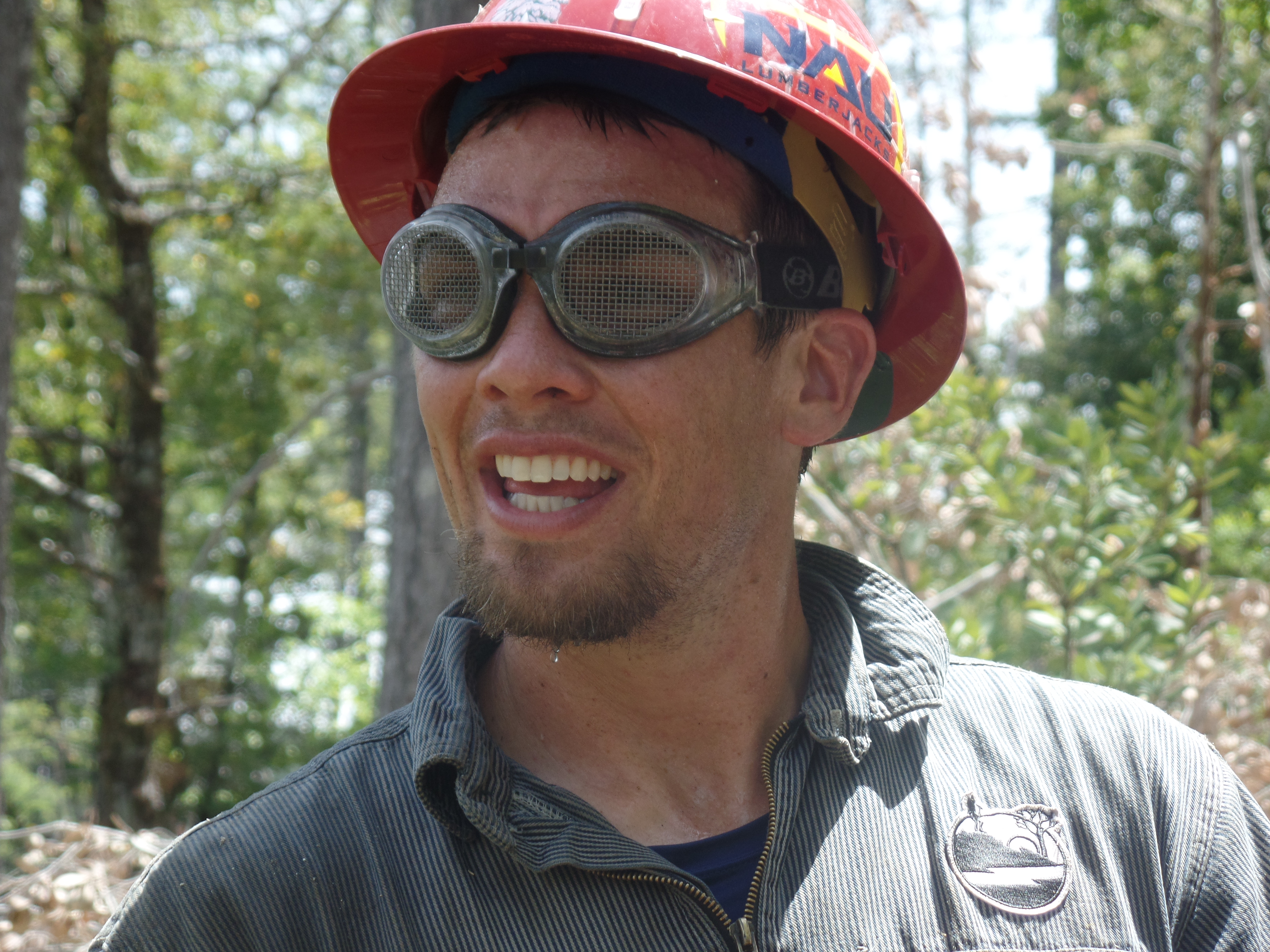
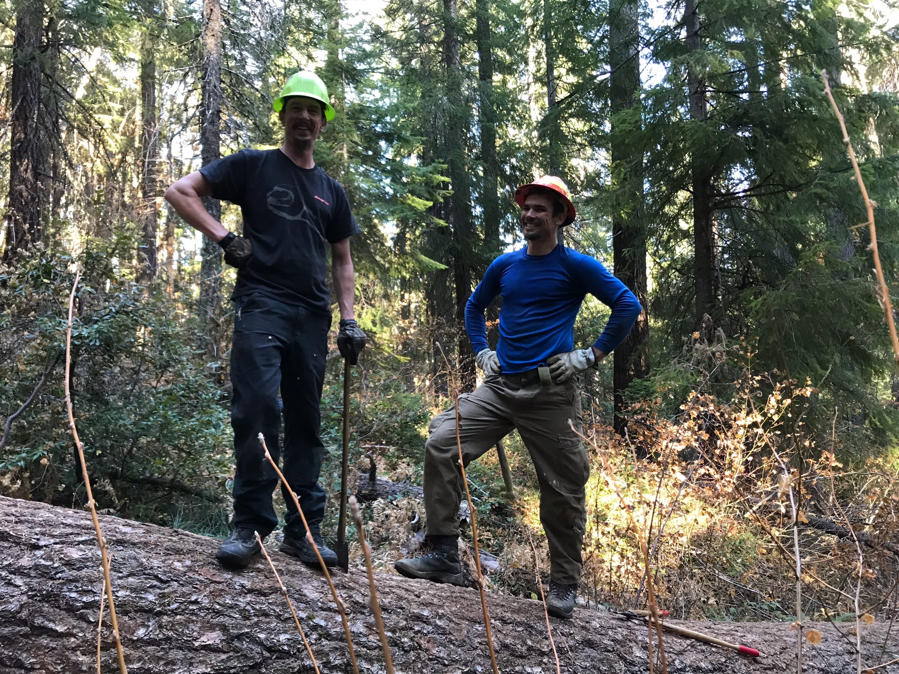
08 DECEMBER 2018 | ASHLAND, OR — For the last eight years, we have been busy in the Siskiyou backcountry rebuilding entire trail configurations that had disappeared from the landscape. Now we maintain a 300 mile inventory of trails on a three year rotation throughout the Rogue River-Siskiyou and Klamath national forests.
“The community has been working hard to bring the Siskiyou backcountry back to life for a decade now,” says executive director Gabriel Howe. “We’ve been playing catch up and now we’ve got a complete spectrum of outstanding trail adventures.”
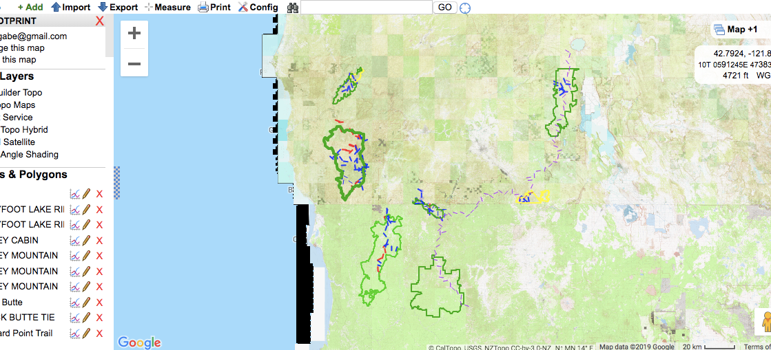
Behold the Siskiyou Trailhead Finder. The online mapping platform built by board member Ryan Ghelfi is an easy to use planning tool for trail users in pursuit of the Siskiyou Mountain Club footprint. And it reflects trail conditions collected by you, the community.
“Remote backcountry trails can be an intimidating proposition to hikers and runners alike,” says Ghelfi. He points out that there’s a lot of uncertainty, and lack of phone service. “That is also part of the charm.”
Till now, there has not been a simple way to find and navigate our bounty of trails. “The Siskiyou Trail Finder aims to change this,” Ghelfi states, “helping to inspire and ignite the the imagination of the Southern Oregon and Northern California trail communities.”
The interactive map provides color-coded distinction between trails that are maintained regularly, trail sections known to be impassable or in poor condition, and trail sections whose conditions are unknown. No more rolling the dice and showing up to trailheads only to realize the path beyond isn’t safe to attempt. The tool will include an option to download GPS routes and share trips with friends.
“The whole idea is we want hikers to stay at home this year for their adventures and discover opportunities right around the corner,” says Howe. He says the recent news cycle is “a circuitous death trap. Get out of it with a trip into the Siskiyou backwoods.”
In tandem, SMC is launching a program for trail users to report back on conditions in a standardized format. That information will be used to update the live map each month.
Despite a plethora of outdoor opportunities available in Southwest Oregon and Northwest California, surveys show that lack of information is a barrier to exploring the region, even for local residents.
“We don’t like walls and barriers,” says Howe. “We’ve been cutting through them with saws, axes, Pulaskis, clippers, and pruning saws since 2010.”
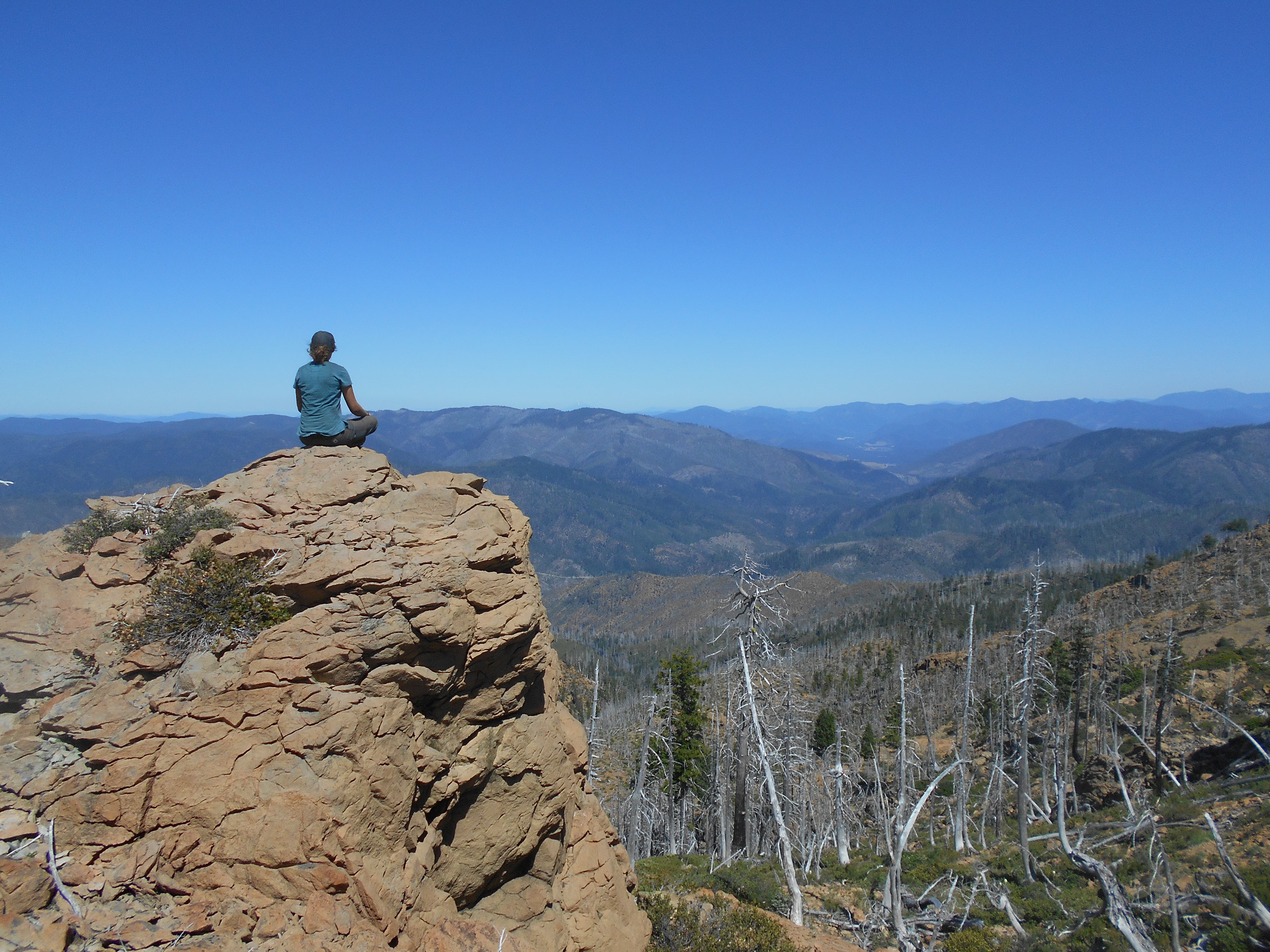
Howe reminds us this region has the wildest backcountry on the Pacific Coast: “We want to inspire people to explore.” ###