
SMC Crews Have Been Busy
Go Enjoy Their Work
Do you want to help keep these trails open? Join the Siskiyou Mountain Club today with a tax-deductible donation of $25 or more.
Babyfoot Lake — Located just 15-miles west of Kerby, OR, Babyfoot Lake is a popular gem of the Kalmiopsis Wilderness Area. Unfortunately the trail was filling in with brush and downed logs, and in some places becoming hard to find.
But our crew cleaned it up in May. They cut over 25 logs from the trail and brushed out hundreds of feet of the trail where hikers were getting pushed off the trail.
From Redwood Highway 199 about four-miles south of Selma, OR head west on Eight Dollar Mountain Road. Cross the “green bridge” and follow the road to its terminus, the Babyfoot Lake Trailhead. The trail meanders through a snag forest for about 1/8 of a mile before reaching a junction. Head right, continuing downhill to get to Babyfoot Lake, about 1.25-miles total from the Trailhead.
Click here for interactive map.
Shoofly – Butte Fork Applegate Trail — Located south of Applegate Lake, this hike through the Red Buttes Wilderness Area boasts gargantuan sugar pines, a gorgeous river, and a nice trail.
When we started working on these trail sections last spring a number of downed trees were forcing hikers to create new paths around them. Now they’re gone. 
Pick up the Red Buttes Wilderness Area map and head out to the Shoo-Fly Trailhead. Notice the giant pines that were recently bucked from the trail. After reaching the Butte-Fork Applegate River Trail head upriver. After a few miles you’ll reach an old tool shed. Volunteers have cleared another couple of miles up from there.
Click here for interactive map.
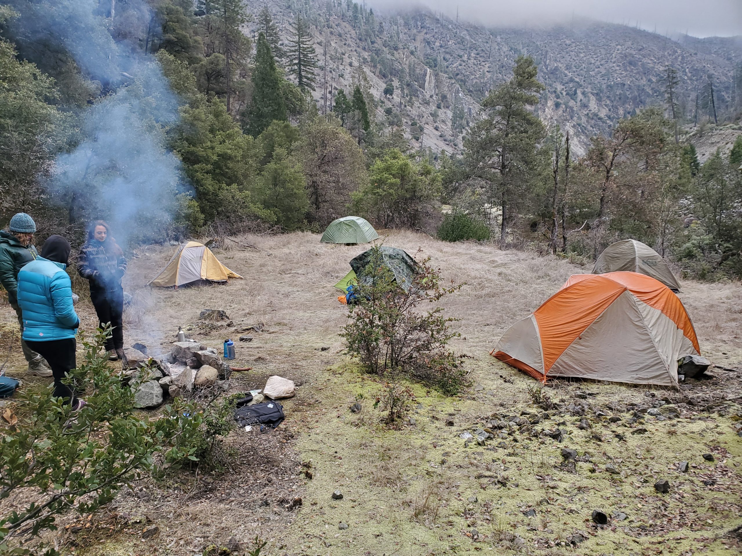
Hike To The Chetco River — Our adopted route from Babyfoot Lake to Carter Creek confluence with the Chetco River is looking better than ever. Volunteers have put in over 500 hours this year alone to brush and log out sections of the arduous nine-mile route that was discernible, but had tormented hikers in years past. 
Get out the Gold Beach District Map or USGS topos, pack your bags, and head up to the Babyfoot Lake Trailhead. You’ll find your way to Carter Creek via the Babyfoot Lake Rim to Bailey Cabin, and down Bailey Mountain. The trail is clear, but good map reading is essential. And nobody ever said this hike was easy.
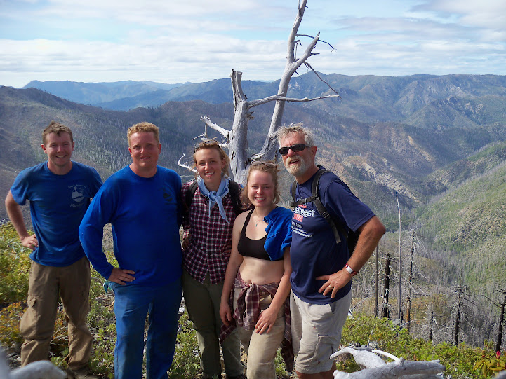
Cross Carter Creek and hike another 1.5-miles along Bailey Mountain Trail for views of the magic canyon (pictured above).
Feeling ambitious? From the saddle just north of Bailey Cabin, summit Bailey Mountain for panoramic views of the wilderness (below). 
Click here for an interactive USGS map of the route.
Want some before and after shots of these trails? Click here.

