Our Crews Work So hard
You Can See Their Work From Space
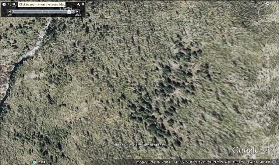
In 2011 a satellite took a picture of Upper Chetco Trail 1102 between Slide Creek and Taggart’s Bar:

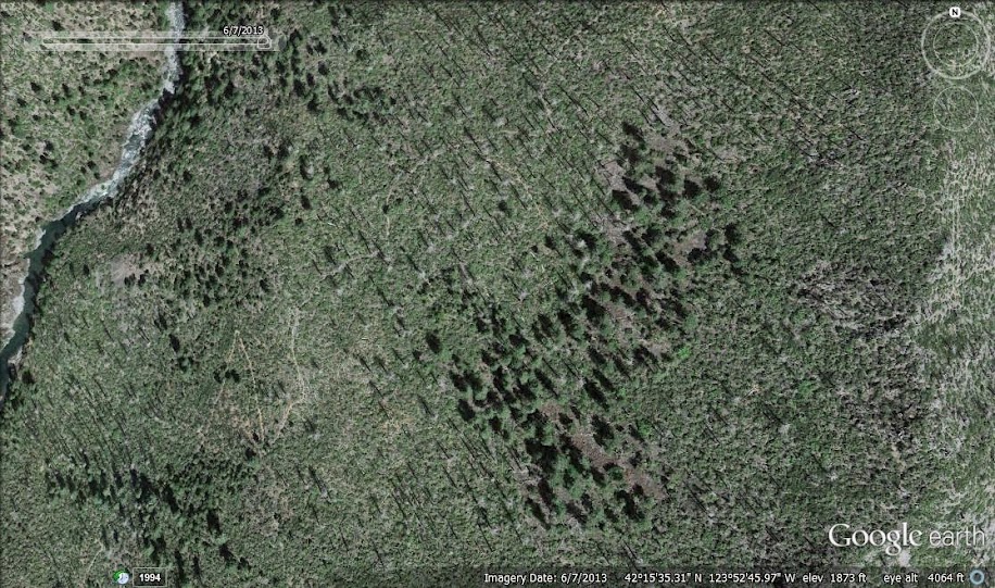
You can barely make out where the trail in the 2011 image because hundreds of trees killed by the 2002 Biscuit Fire had obscured its location. In 2012 SMC trail crews set out to buck those logs from the trail, and in 2013 Google caught another shot of this location. In that version you can make out the trail easily:

Below is a closeup of the switchback. You can see the numerous logs bucked from the trail.

Still not a member? Join an organization whose work can be seen from the sky.


